RELATED STORIES
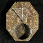
OBJECT HISTORY: Le Maire Sundial
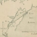
French Cartography in the Great Lakes
EXPLORE MORE
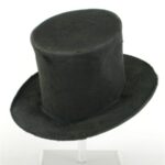
OBJECT HISTORY: Beaver Felt Hat
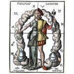
Humoral Medicine and Cupping
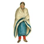
What is a Point Blanket Coat?
This Post Has One Comment
Comments are closed.
Comments are closed.
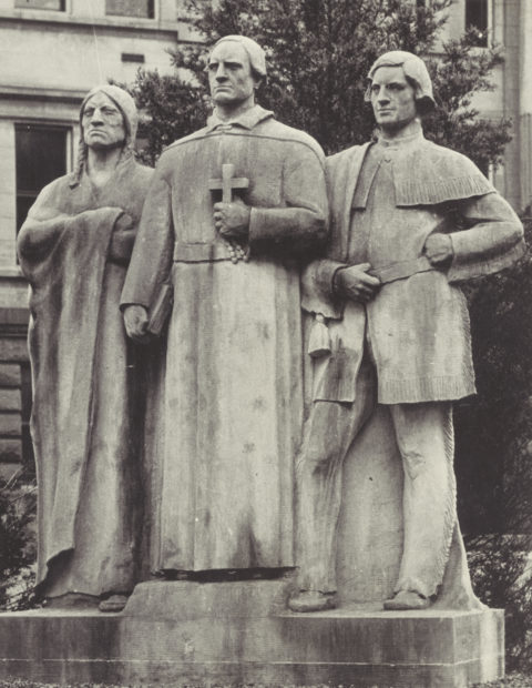
I made a trip to Green Bay, Wisconsin about 20 years ago to see the statues of a member of the Fox tribe, French Jesuit Claude Allouez and commandant (later governor) Nicolas Perrot. Nicolas Perrot was related to me but over the years, the name Perrot was changed to Perreault. My maiden name is Carole Perreault, and my father’s name was Odilon Perreault.
I was told that Nicolas Perrot was instrumental in stopping a war between the indiginous and the French at Lac des Chats…..but I do not have more information on the subject. Nicolas Perrot was commissioned by the King of France in circa 1641 , to open up trading posts in the area….